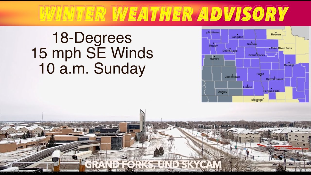
GRAND FORKS, ND (trfnews.i234.me) The National Weather Service in Grand Forks says a Winter Weather Advisory is in effect until midnight on this Sunday. Freezing drizzle in the forecast.
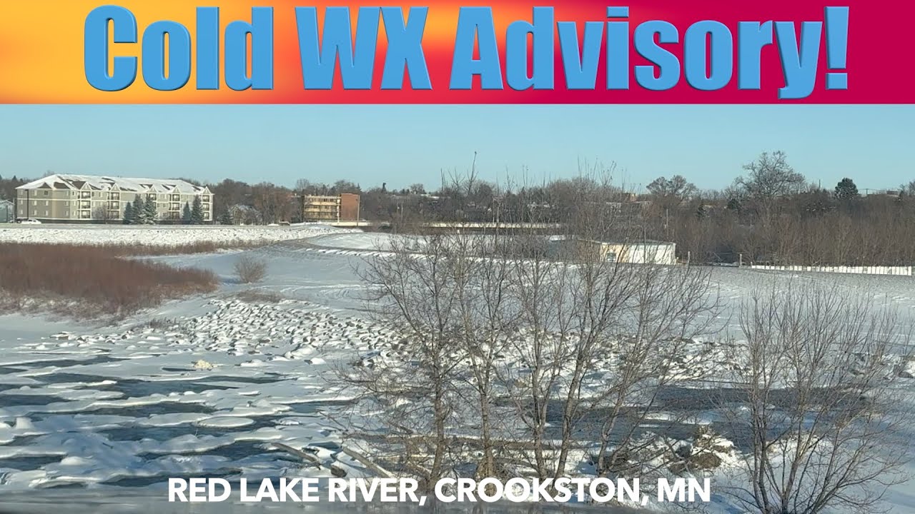
GRAND FORKS, ND (trfnews.i234.me) The National Weather Service in Grand Forks has issued a Cold Weather Advisory. A forecast of -19 degrees tonight with wind chills hitting 40-degrees below zero!
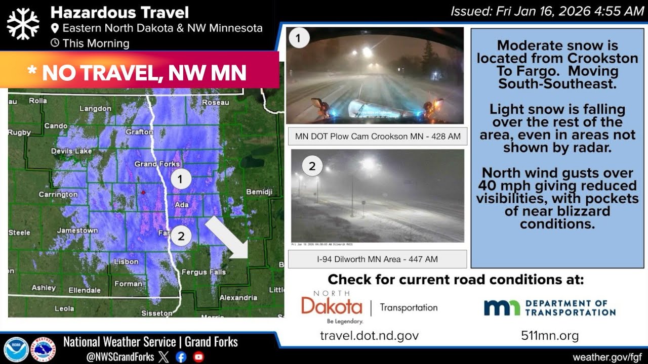
GRAND FORKS, ND (trfnews.i234.me) The Natioinial Weather Service in Grand Forks has issued a Winter Weather Advisory for Eastern North Dakota and Western Minnesota. The Minnesota DOT in advising no travel in much of northwest Minnesota.